-40%
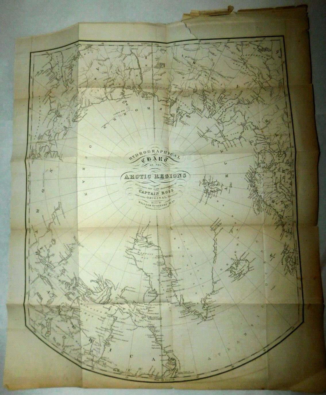
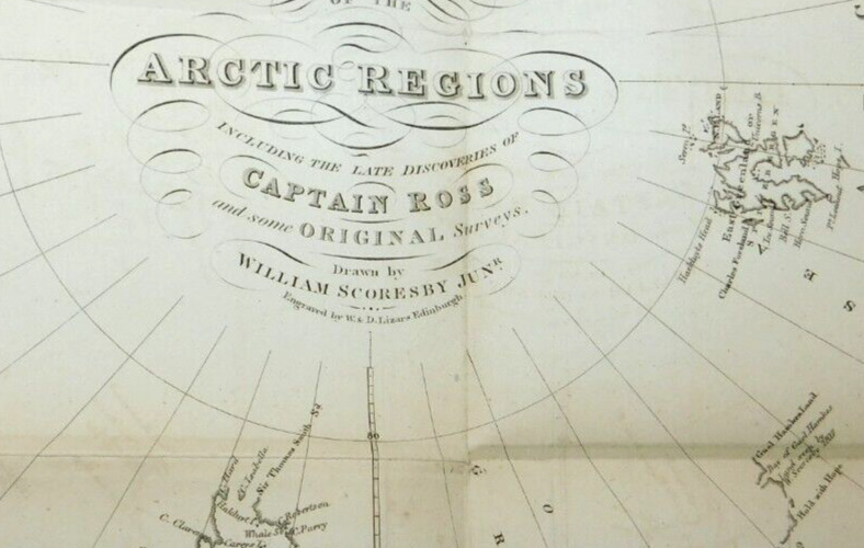
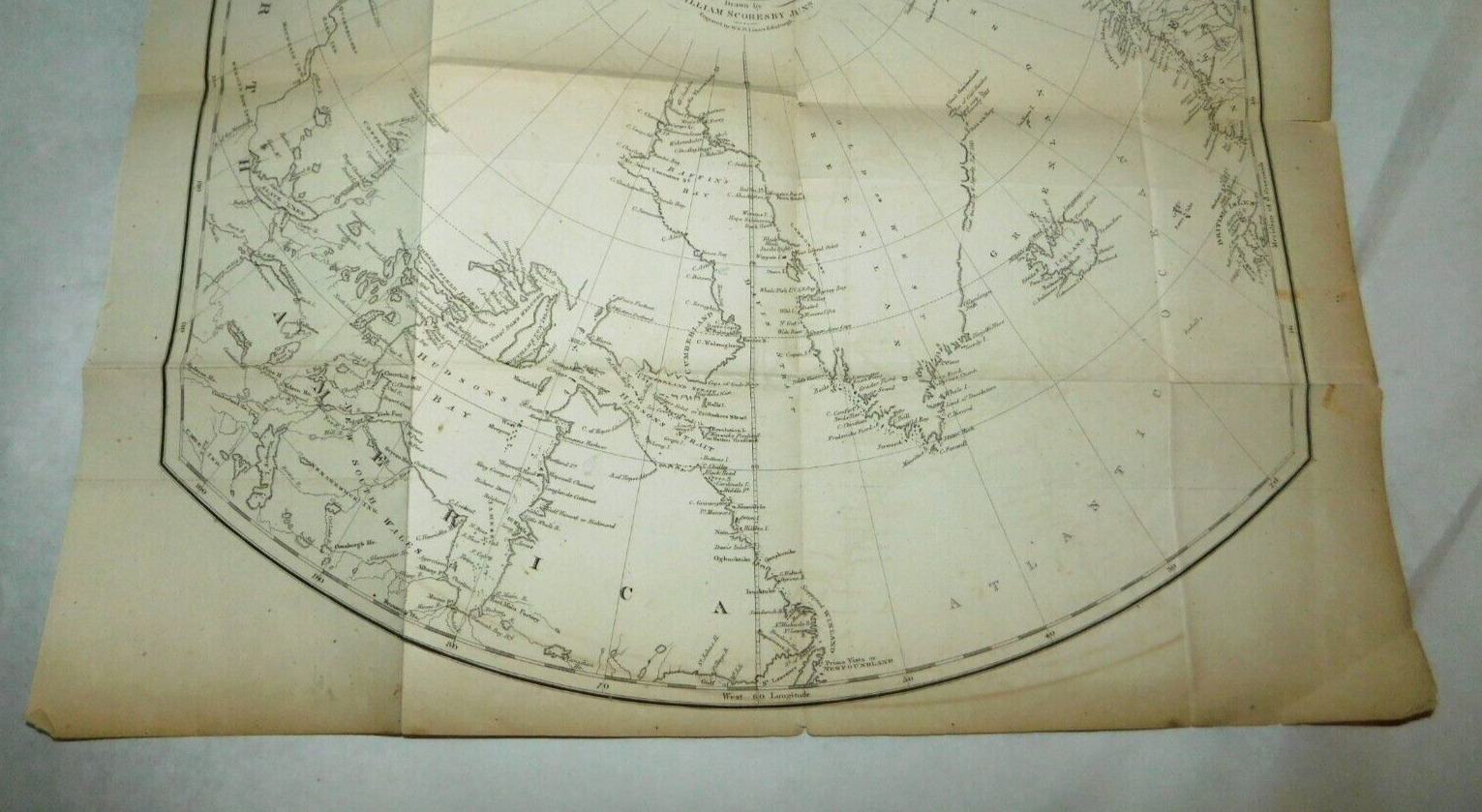
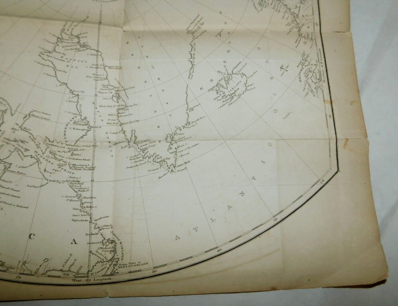
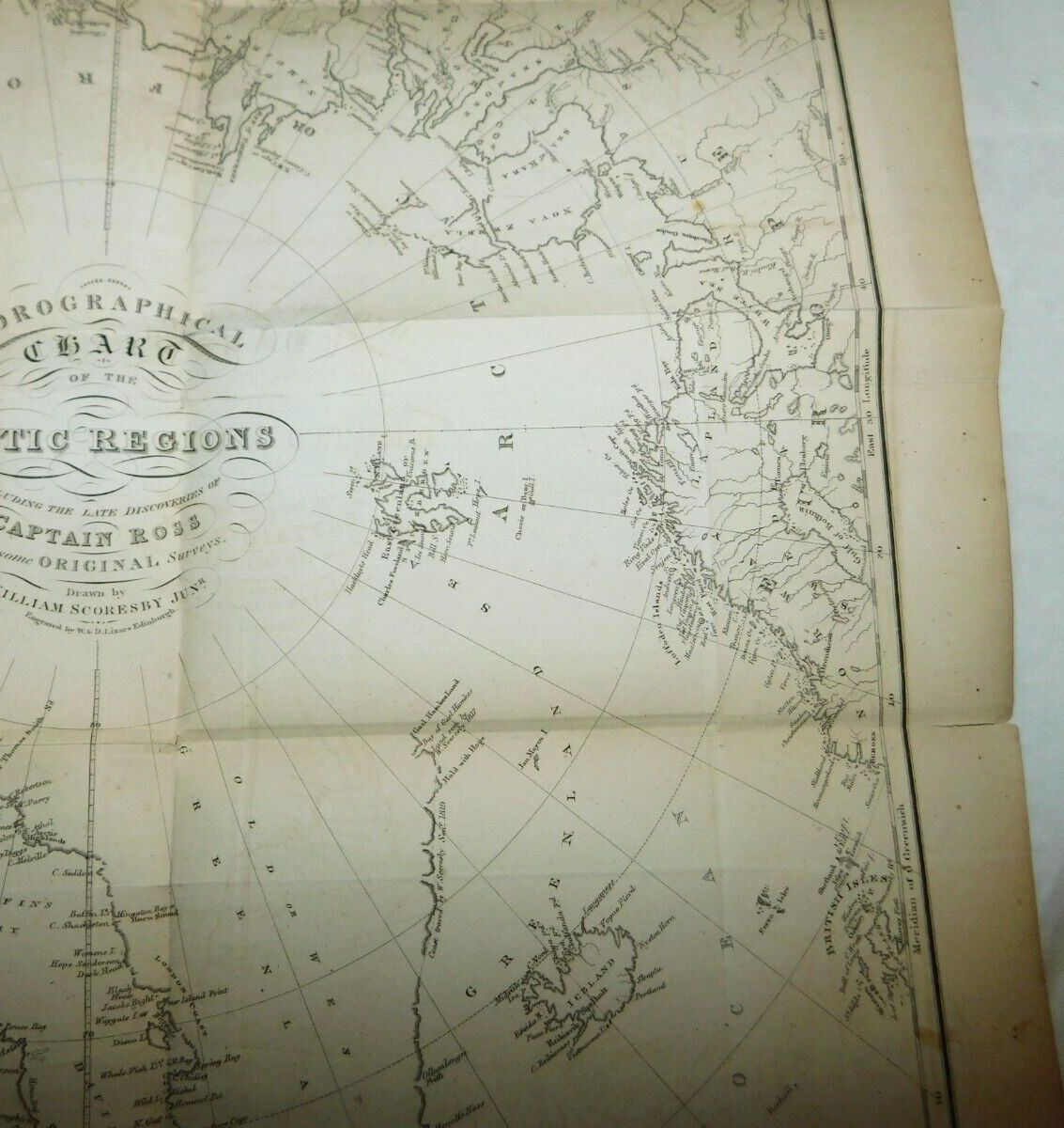
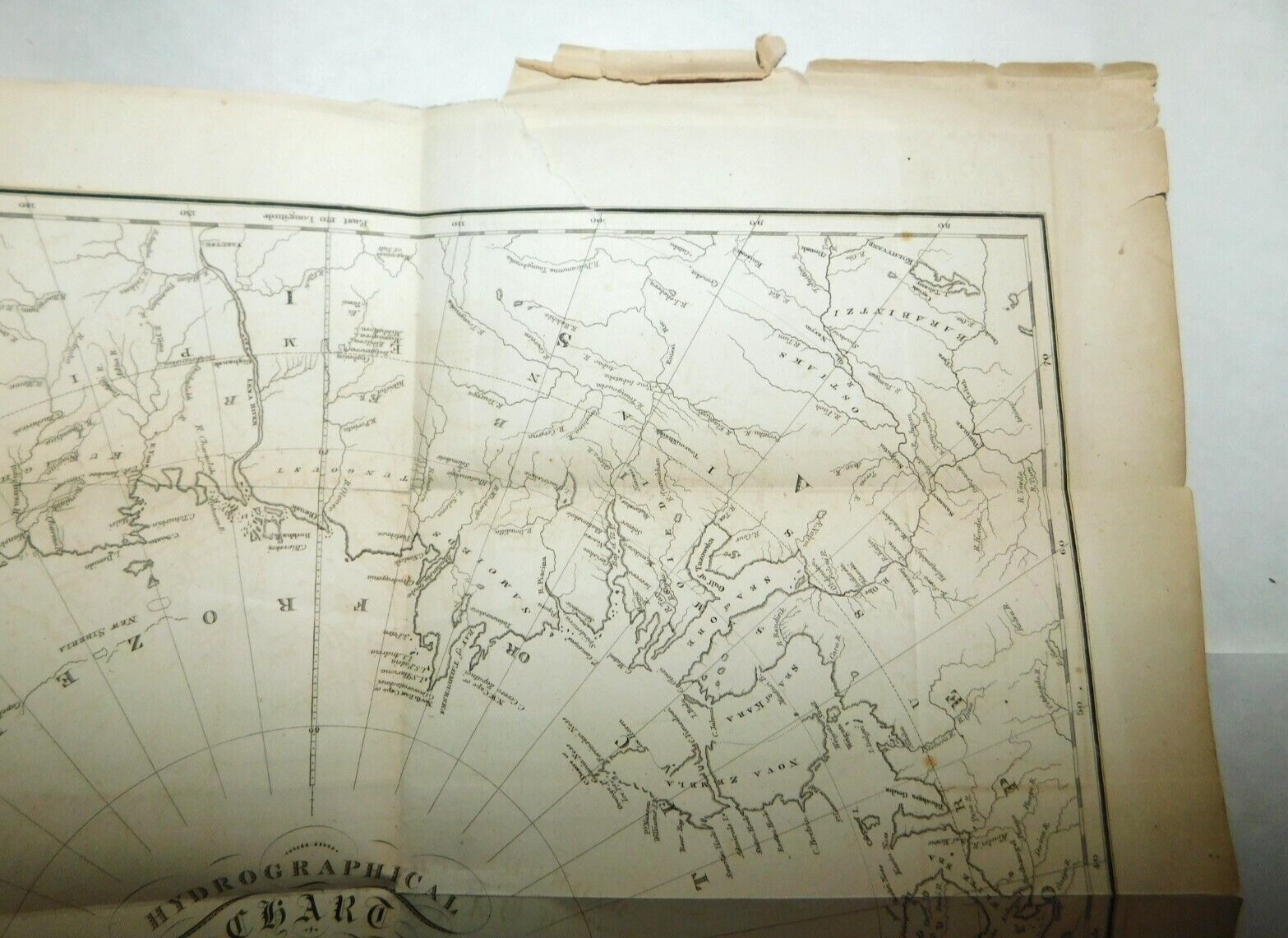
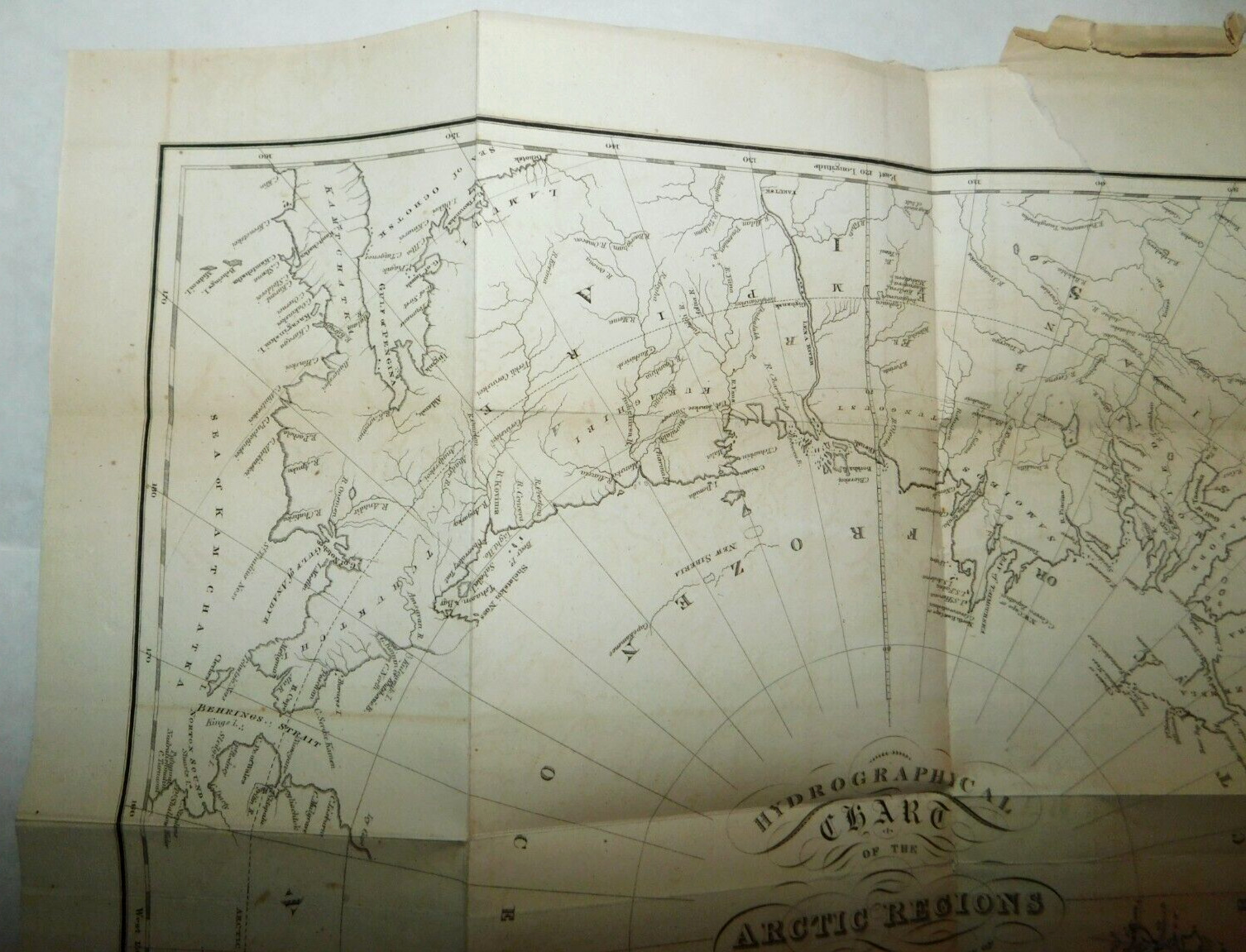
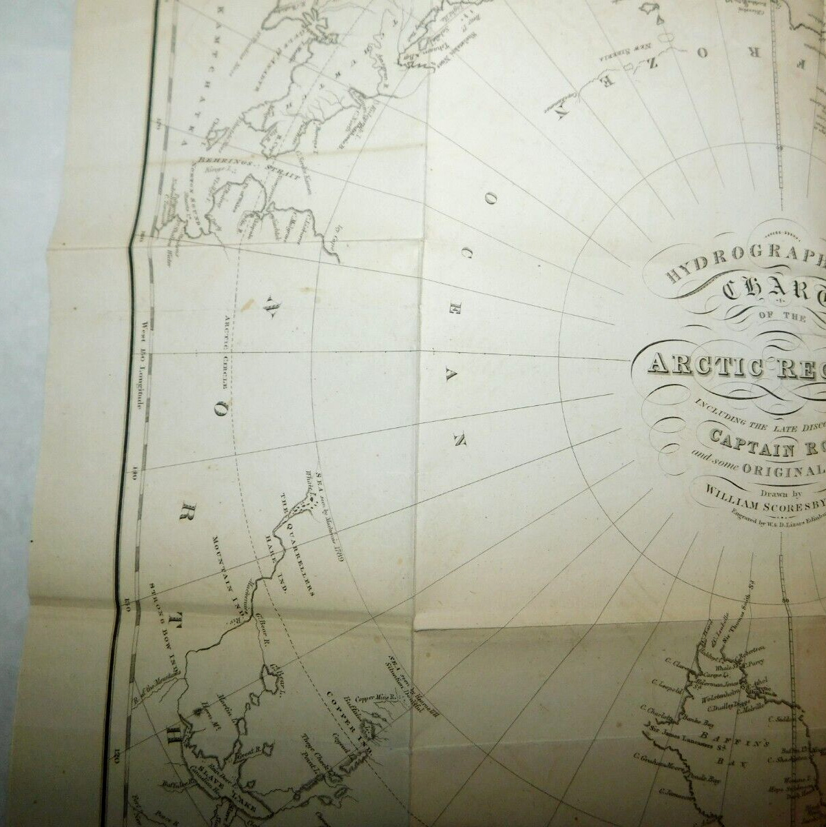
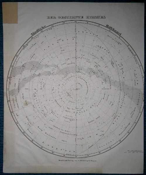
1800 s W. & D. Lizars Hydrological Chart of the Arctic Regions Map, Captain Ross
$ 224.66
- Description
- Size Guide
Description
This is an original antique earlier1800's W. & D. Lizars Hydrological Chart of the Arctic Regions Map
including
recent discoveries and surveys
from
Captain Ross
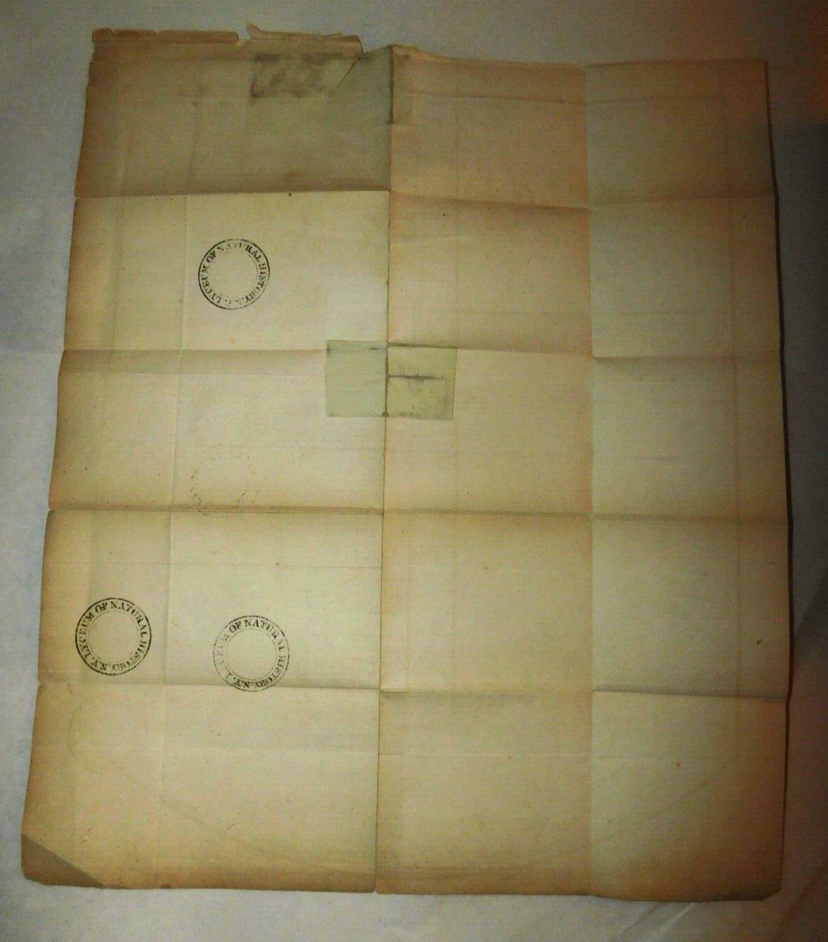
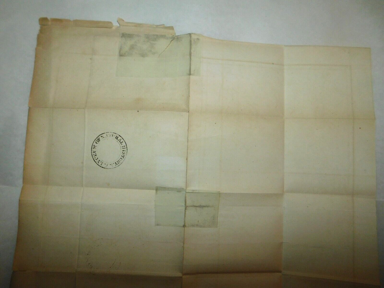
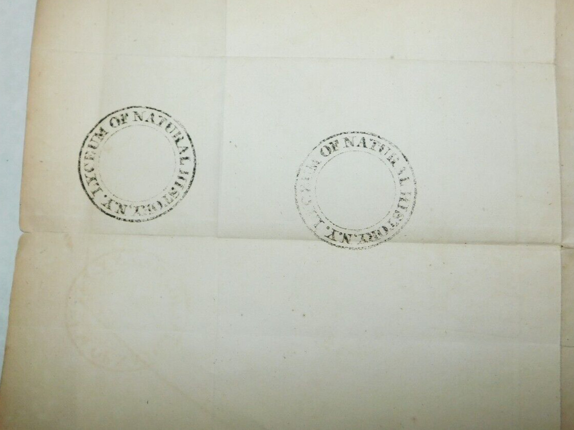
. It is about 16.5"X19.5". It is folded with some creases and is stamped on the reverse side as once having been in the
archives of the Lyceum of Natural History in New York.
There are some short tears on the edges, some small holes and a few small splits on folds with one split having a repair from the back side. There is some yellowing and some wrinkles and a few small smudges and small light stains. The item will be shipped in its naturally folded position.
